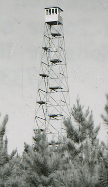
Information
Names: Dutch Ridge
Location: Hoosier National Forest property, Pleasant Run purchase unit. (Just west of Charles C. Deam Wilderness, but not in it.) Just off 446 southeast of Bloomington.
County: Monroe (other tower sites in Monroe County are Hickory Ridge and Mason Ridge)
Topo quad: Allens Creek
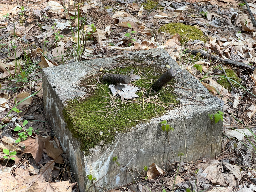
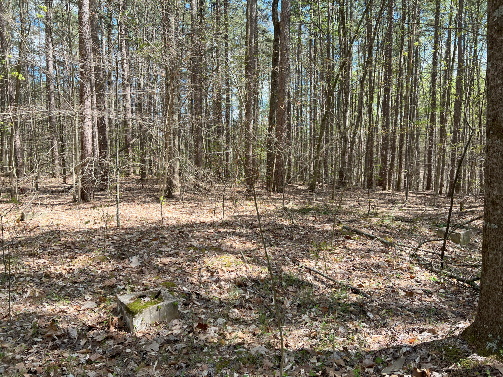
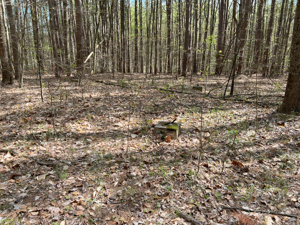
Condition: Not standing; all four base corners exist. (See my pictures below.)
Maps
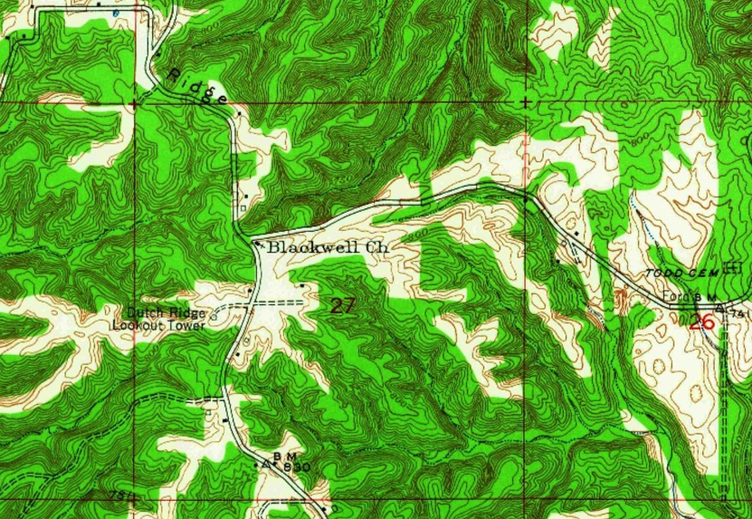
Above: Allens Creek topo quad, 1957
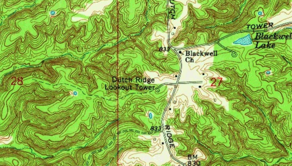
Above: Allens Creek topo quad, 1966
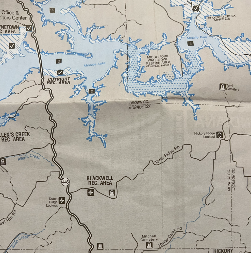
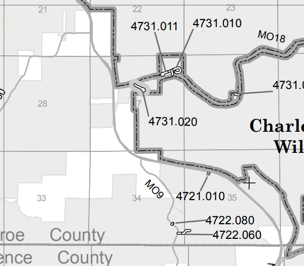
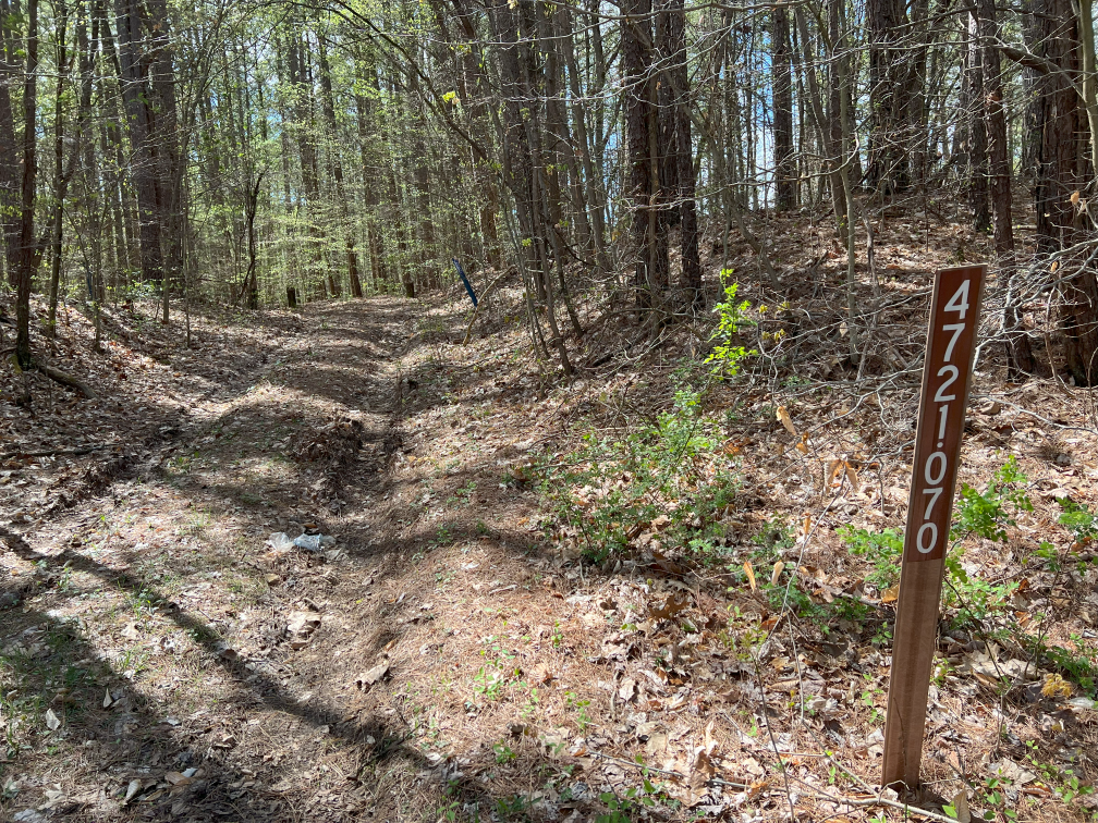
The old forest road is not marked on the current Pleasant Run unit MVUM, excerpted here. The road sign we saw when we visited was 4721.070 (see personal photos.)
Links
Data
Latitude: 39.011952
Longitude: -86.402207
History
Personal photos
My brother and I walked to this site in 2023. The base corners are still there. It’s on public land, but there’s no road or parking. One can briefly park east of 446, south of Blackwell Church, and walk across 446 to the site.