Information
Names: Lilly, J. K. Lilly Tower
Location: Currently: Indiana University Lilly-Dickey Woods, owned by the university but not publicly accessible. Originally this was private forest owned by J. K. Lilly, when it was once referred to as Hamblin Forest.
County: Brown (the other tower in Brown County is Weed Patch)
Topo quad: Nashville
Condition: Standing; can’t get close enough to determine more. There is no public access to this tower.
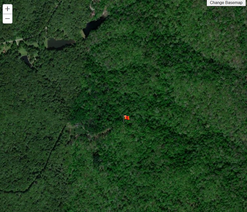
Maps of Lilly tower
I have more maps and satellite images for Lilly than for most, because some people either don’t believe this tower is still standing (which it is) or they confuse it with Weed Patch.
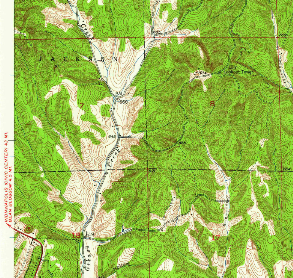
Aboe: Nashville topo quad, 1947, excerpt
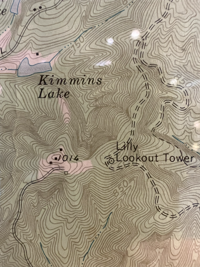
Above: Detailed photo of a topo posted at the Brown County State Park nature center, showing Lilly Lookout Tower. This is probably newer than 1947, because it shows Kimmins Lake which wasn’t on the 1947 topo.
Links about Lilly tower
‘Explore the Lilly-Dickey Woods’ from an IU blog – has a history of this part of Brown County, and a picture of old wooden tower at Bearwallow Hill
Data
| Coordinates | Latitude | Longitude |
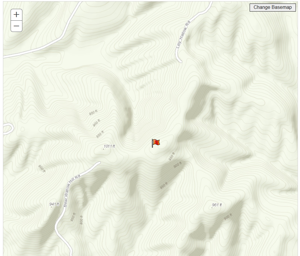
| My coordinates (unofficial) | 39.23616 | -86.221102 |
History and Historical photos of Lilly
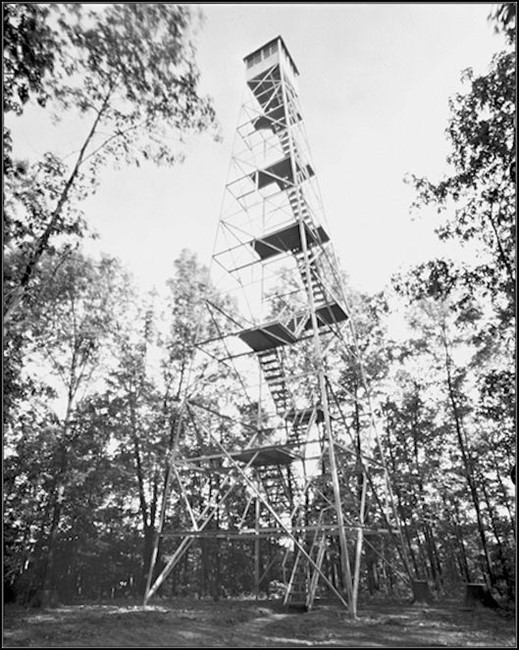
According to the Department of Conservation report of 1931: “An 80-foot tower and telephone line was built for Mr. J. K. Lilly on his forest in Brown County. Mr. Lilly paid all expenses for the work and devotes the equipment to the division to aid in protecting 75,000 acres of forests in northern Brown County.”
The 1932 report also says that the J.K. Lilly tower was erected in 1931.
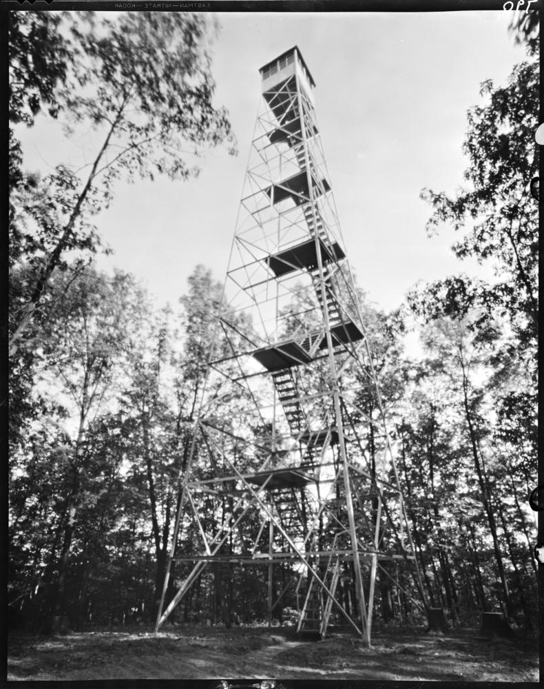
The above photo is from Indiana University Image Collections Online, Lilly Library, Frank M Hohenberger Photograph Collection. Bookmark
Personal photos of Lilly tower
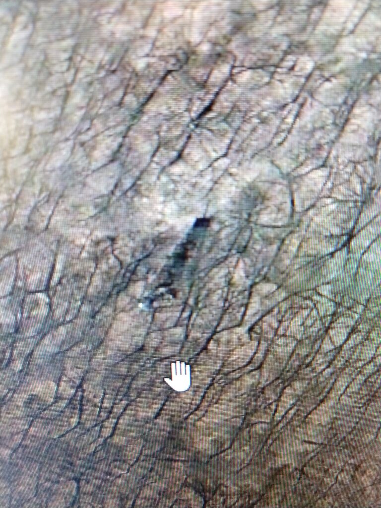
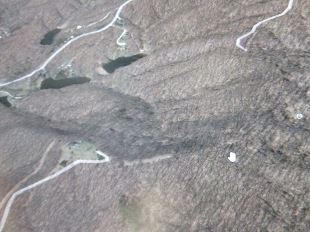
My brother and I were able to locate this tower through binoculars from the IN-135 Bean Blossom Overlook north of Nashville in 2023. That’s a distance of about two miles, and an iPhone can’t take great photos at that distance. The 135 overlook is on a ridge, and the Lilly tower is on a ridge, and there is a direct line of sight. This picture might not be convincing, but it would guide you if you want to try it yourself.
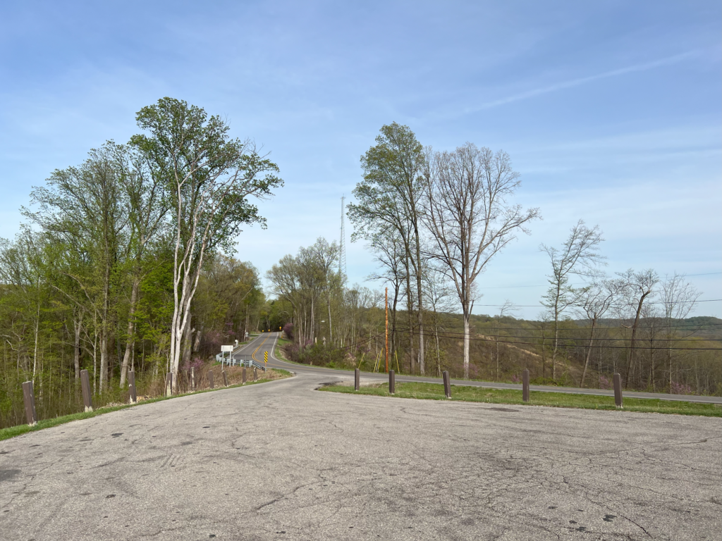
This is the overlook parking lot itself, showing the road leading east/north.
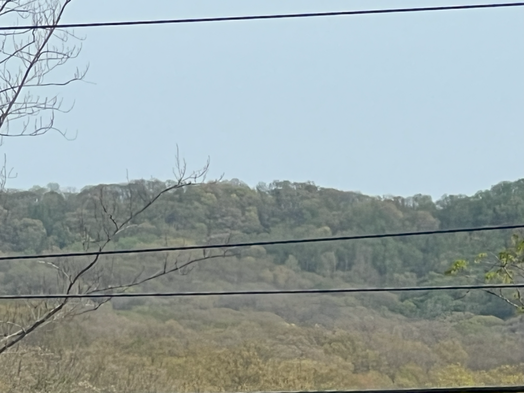
The tower is visible on that ridge through binoculars, but does not appear clearly in this picture.

This is a sign at the gate to the IU property, north of the tower site. This gate is at a small road on the south side of Bear Wallow Hill Rd. The small road is shown on some maps as Lilly Hallow Rd.