National Geographic Maps Trails Illustrated series map 770 is the Hoosier National Forest. I have three editions of this. Over time, the tower sites have generally disappeared from this map series.
1997 Edition

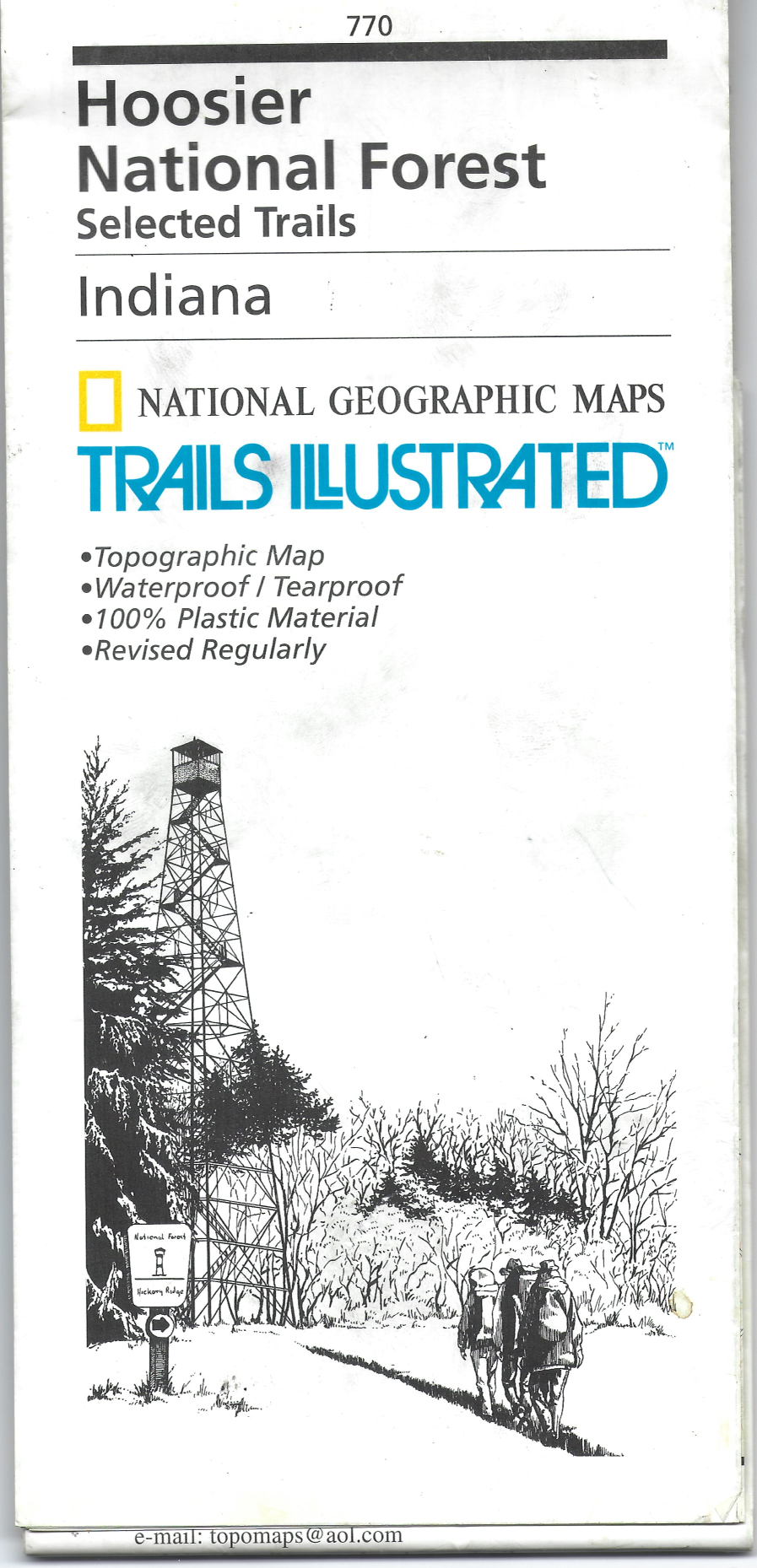
For starters, the 1997 edition is notable for the drawing of the Hickory Ridge tower on the cover.
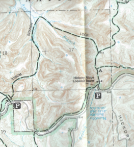
On one side is the Deam Wilderness, showing the Hickory Ridge Lookout Tower.
The Dutch Ridge tower is not shown, but the road and trail at its location is included.
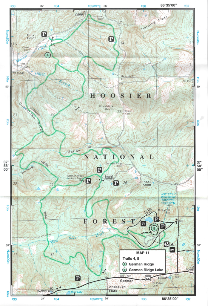
The other side shows a number of map insets of the southern Tell City district of the HNF. Towers shown include:
German Ridge Lookout Tower, at a parking area in the German Ridge trail area.
Marchand Lookout Tower, labeled only as Lookout Tower, near the Mogan Ridge West trail.
Finally, this old edition is interesting for having trails that don’t exist any longer, like the Ogala.
2008 Edition

The maps are laid out differently than the previous editions.
There is a “Monroe Lake” map; Hickory Ridge Lookout Tower appears on this map.
There is a “North Side” map with Martin State Forest and Paoli.
The other side of the map is the “South Side” from Patoka Lake south to Tell City. There are a few insets. Tower appearances:
West Fork Lookout Tower appears on the map (clearly in Crawford County by the way)
Neither Marchand (near Mogan Ridge) nor German Ridge towers appear at all
Buzzard Roost area shows an overlook and trail, but not the tower
John Spears Tower does not appear
Ferdinand State Forest appears on the map, with a Lookout Tower and Firetower Trail
2020 Edition
This edition is not that different from the 2008 edition.