Information
Names: German Ridge
Location: Hoosier National Forest
County: Perry (also in this county: Marchand, Buzzard Roost)
Topo quad: Rome
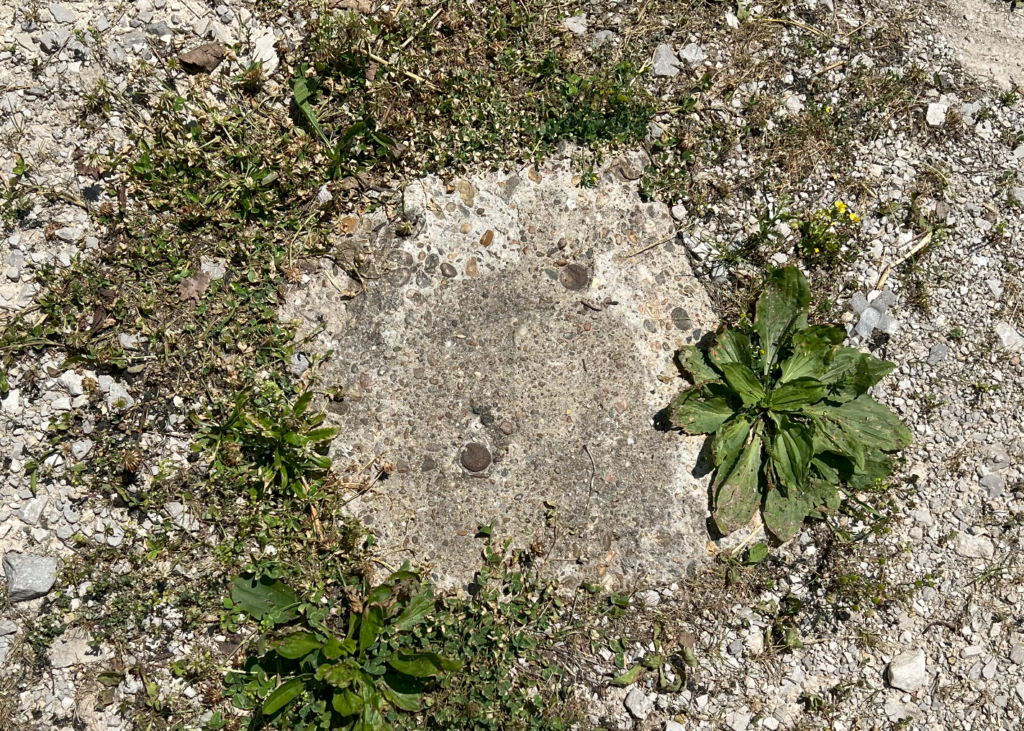
Condition: Not standing. One of the tower base footers is visible in a parking lot at a trailhead in HNF in the German Ridge area.
Maps

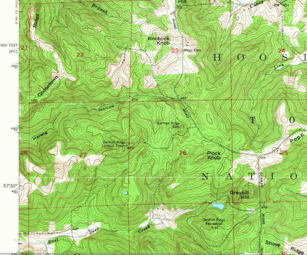
Rome topo quad, 1953

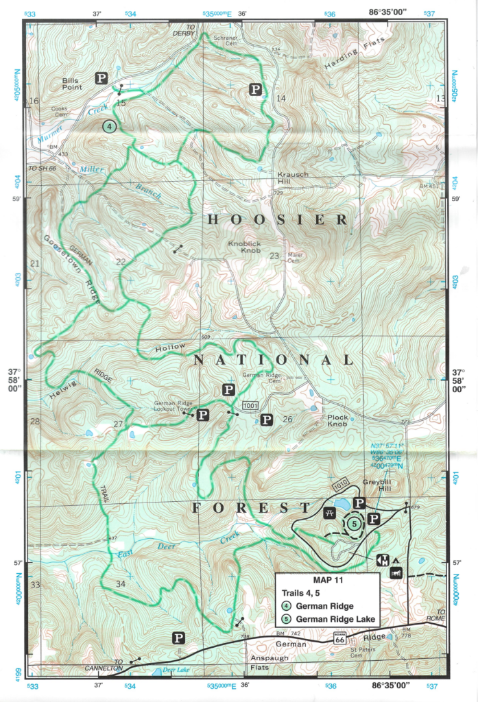
Above: German Ridge section of National Geographic trail map from 1997. The tower does not appear on more recent versions of this map.
Data
| Coordinates | Latitude | Longitude |
| My coordinates (taken onsite) | N 37°57’49.80770″ | W 86°36’18.28260″ |
Personal photos and notes
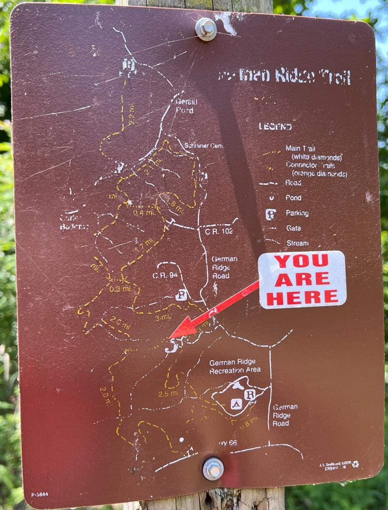
My brother and I visited this site in June 2024. One footer is visible beneath the gravel in a parking area at the end of a forest road, a trailhead parking area. The forest road was in decent shape when we visited. (It’s not the same road as the one to the cemetery; older maps seem to suggest they once were.)

