Information
Names: Buzzard Roost, Buzzard’s Roost, maybe also Buzzards Roost and Mount Pleasant
Location: Hoosier National Forest, Tell City district
County: Perry (other towers in this county: Marchand, German Ridge)
Topo quad: Beechwood 1:24000 (and Alton 1:62500)
Condition: Not standing. There is a weedy clearing on the north side of a road, at or very near where the tower site would have been, but we didn’t find any tower bases.
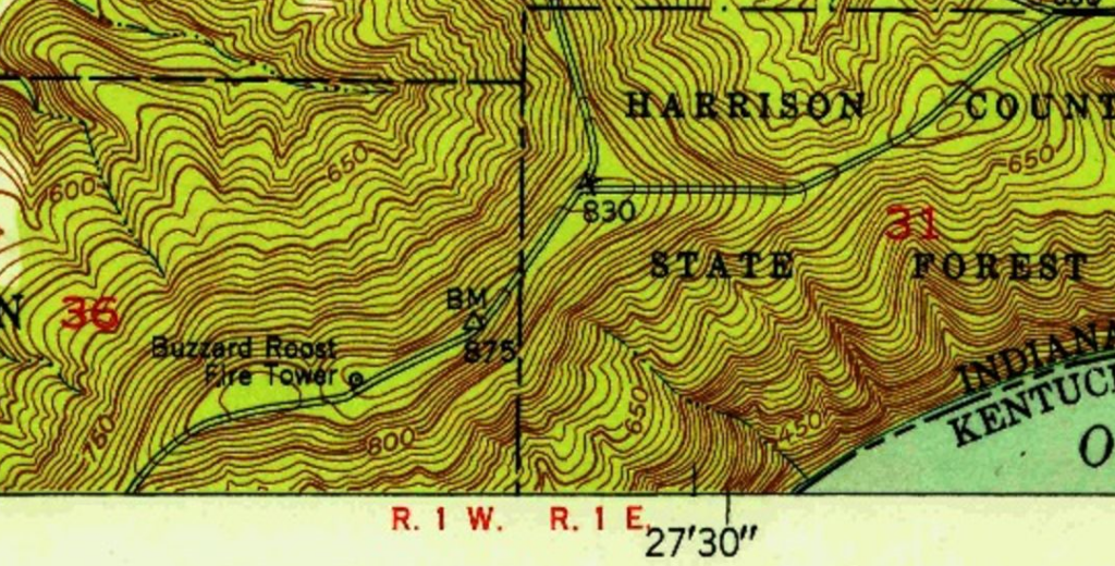
Maps of Buzzard Roost
I’m referencing different scale maps in this section, because the tower is near the edge of the map. I’m starting with one that shows the tower with the most context. Both the old tower site and the current Buzzard Roost Overlook are in section 36.
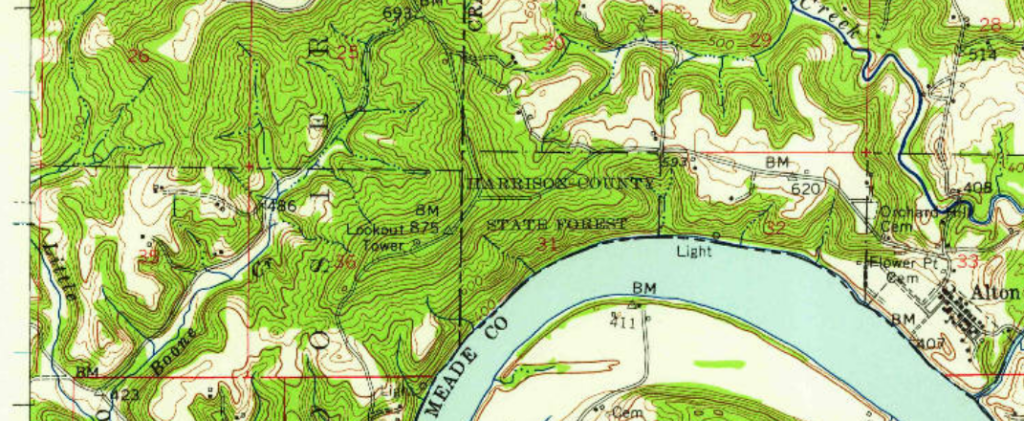
Above is the Alton 1:62500 topo quad, 1950; this encompasses both smaller 1:24000 quads. The tower appears at the very bottom of the Beechwood 1:24000 quad, but the current Buzzard Roost Overlook area appears at the very top of the Alton 1:24000 quad.
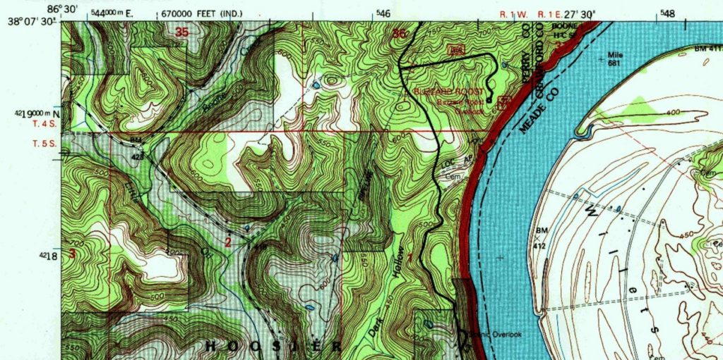
For context, the Alton 1:24000 quad from 1993 shows the “overlook” area but the old tower site is is just to the north of this map.
Links
Forest Service page about Buzzard Roost tower
NGS datasheet for mark MT PLEASANT BUZZARDS ROOST LOT (JA1773) which is described as being at the roof of the lookout tower
History of Buzzard Roost tower
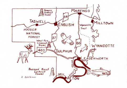
A 1961 document about a tour in Perry County mentions “Buzzard’s Roost Fire Tower, maintained by U. S. Forestry Service.”
Data
| Coordinates | Latitude | Longitude |
| My coordinates (taken onsite) | 38.127182 | -86.465487 |
| NGS datasheet coordinates for JA1773 | 38 07 37.81268(N) | 086 27 57.16596(W) |
Personal notes
My brother and I drove to this location in June 2024. We had stopped at the Buzzard Roost Overlook for a nice view of the Ohio River, and then drove north/northeast. My map research led us to the only cleared area on the north side of the road. We walked around the weedy area for a few minutes but we didn’t see any evidence of tower bases.