Information about Paoli tower site
Names: Paoli, Valeene, Orange (?)
Location: Seemingly just a place between two roads south of Paoli. May once have been an ‘experimental’ forest area.
County: Orange (this is the only tower in Orange County that I can confirm)
Topo quad: Valeene
Condition: Not standing
Maps
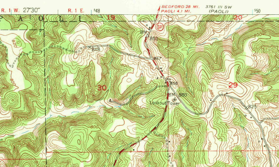
Above: Valeene topo quad, 1950, excerpt
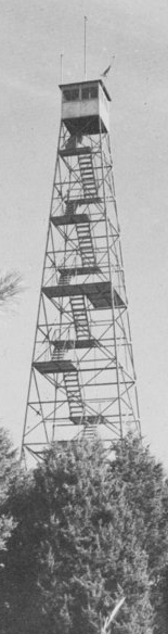
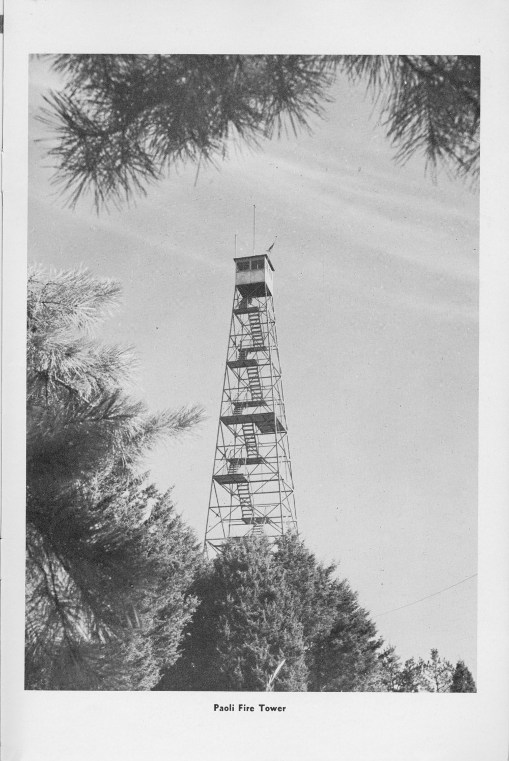
Historical photos of Paoli tower
Data
| Coordinates | Latitude | Longitude |
| My coordinates (unofficial) | 38.490156 | -86.437791 |
| NGS datasheet for JA1790 (NGS map) | 38 29 25.67325(N) | 086 26 16.17920(W) |
Personal notes about Paoli tower
This is the only tower site I’ve found in Orange County using topo maps. I imagine that this tower site is referred to as Paoli, Valeene, and possibly Orange. National Geodetic Survey mark calls it PAOLI. For what it’s worth, Google Maps has ‘Valeene Fire Tower’.
Ron’s page about “Orange (Paoli)” has this newspaper quote from 1932: “is to be constructed at the junction of the Marengo and English highways”. (These two roads leading south from here do indeed go to English and Marengo.)
The nearby FIRE mark’s datasheet says that the tower still existed in 1965.
There are indications online of one or two other towers in Orange County, with names like Baker, but I’ve seen no evidence. I don’t know if these are different towers, or names for the same tower.