Information
Names: Georgia, Bryantsville – both names are used
Location: Hoosier National Forest property. West of Mitchell; south of Bryantsville; north of Georgia.
County: Lawrence (This is the only tower on the normal maps in Lawrence County. Salt Creek might have been in this county also.)
Topo quad: Georgia
Condition: Not standing. The footers for this tower still exist, as of June 2024.
Maps
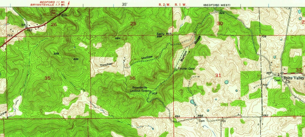
Above: Georgia topo quad, 1949; shows the lookout tower but not the radio tower
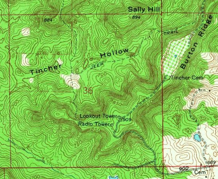
Above: Georgia topo, 1965; radio tower is southwest of the lookout tower site
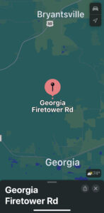

Above: Apple Maps shows the Georgia Firetower Rd, ending in a loop.
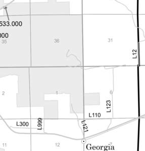
Above: The Hoosier National Forest Lost River Unit MVUM map, excerpted above, shows the road and its loop, inside HNF boundaries. Look in section 36.
Links
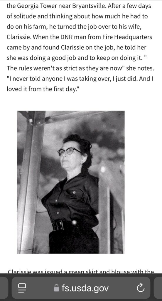
US Forest Service: Clarrisse Carrolle’s story [Note: This page was active until the first two months of the Trump/Musk administration, in early 2025, at which point it was disappeared. As of March 12 2025, it just says Page Not Found. Following are screenshots I took before the Trump administration removed this web page.]
NGS datasheet for mark BRYANTSVILLE LOOKOUT TOWER JA1901
NGS datasheet for mark BRYANTSVILLE JA1902 – very close to the other
Data
| Coordinates | Latitude | Longitude |
| NGS datasheet for BRYANTSVILLE LOOKOUT TOWER (JA1901) (NGS map) (Google Maps) | 38 44 07.60161(N) | 086 34 39.04288(W) |
| My coordinates (taken at the site) | 38.735423 | -86.577481 |
History
This tower does not appear on the 1936 Lawrence County cultural map, which typically does have any standing towers, so I’m speculating that the tower did not exist in 1936.
The Georgia tower was dismantled in 1972, according to the big towers article in Outdoor Indiana May-June 2013.
Personal visits and photos
I originally drove to this area alone in 2023 without going all the way to the site. Then in June 2024 my brother and I visited the old tower site and found the footers.
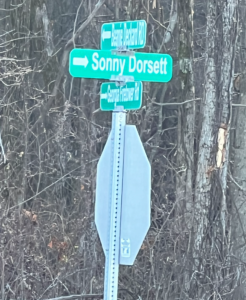
Above: Bottom street sign is Georgia Firetower Rd
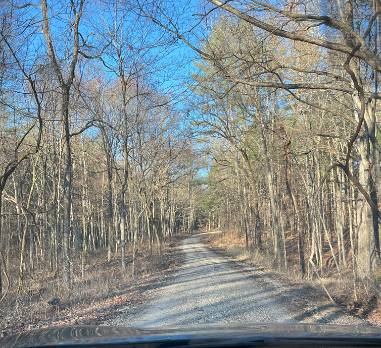
This is where the paved regular road stops and the gravel (forest service?) road begins. Someone’s house is off to the left. That road should lead to the radio tower and old lookout tower site (although I didn’t finish the trip when I was there due to being in a rental car.)
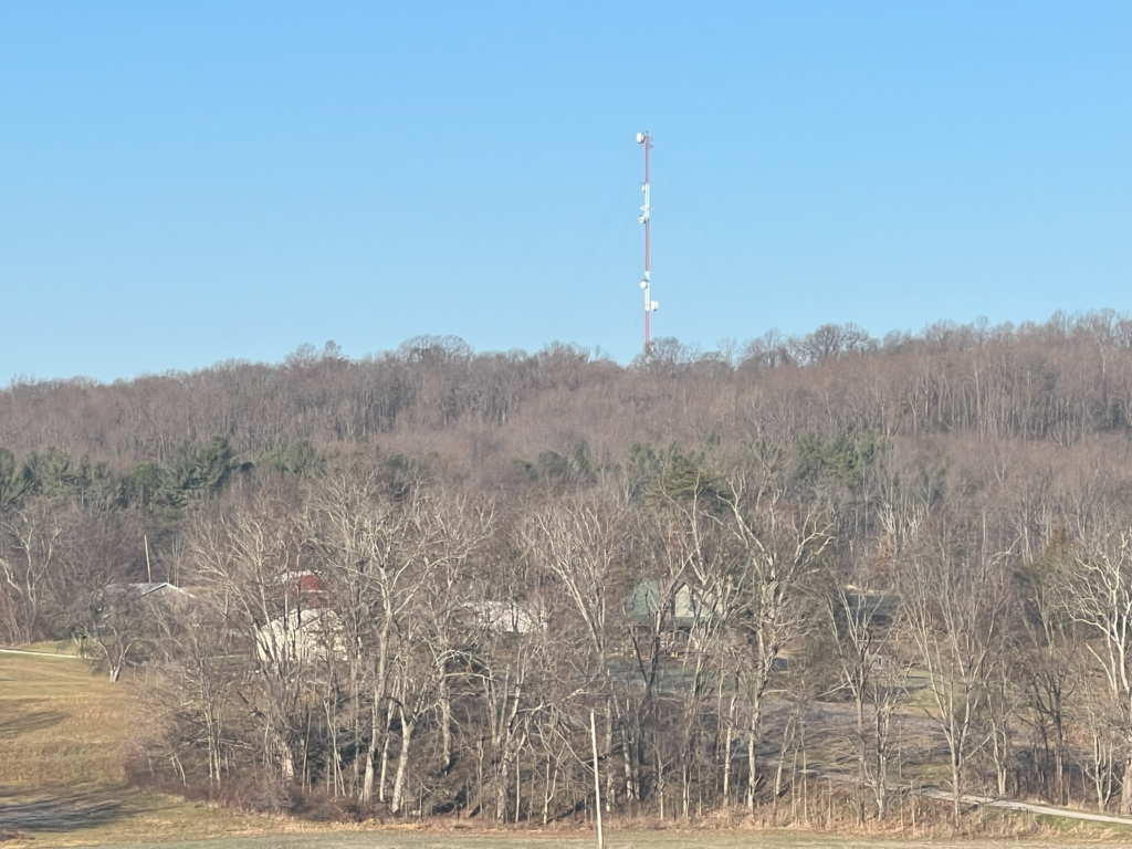
Above: This is the radio tower, photographed from the southeast.