Information
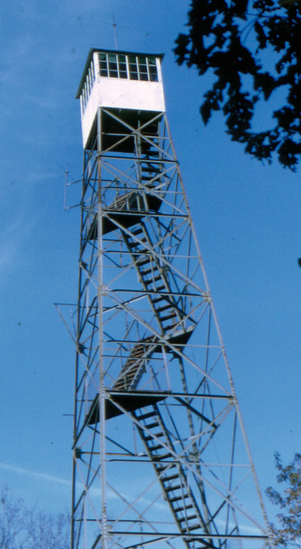
Names: Marchand
Location: Hoosier National Forest, Tell City district, near Mogan Ridge
County: Perry (also in this county: Buzzard Roost, German Ridge)
Topo quad: Derby
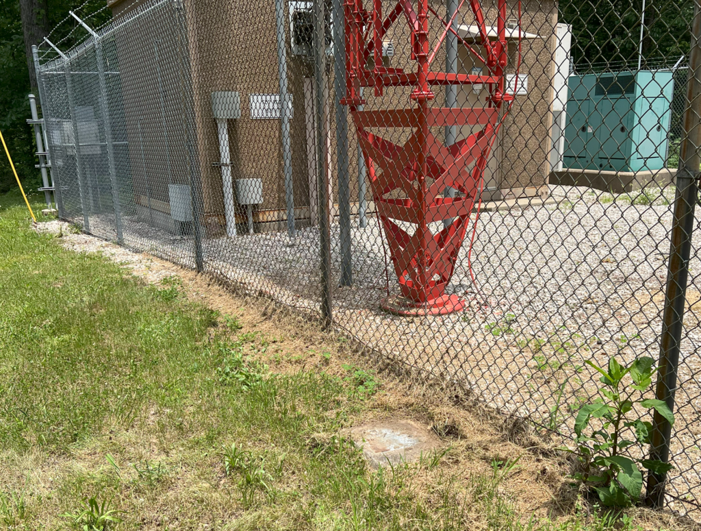
Condition: Not standing. There is a communications/radio tower at this site now. One of the four old footers is visible next to the radio tower fence.
Maps
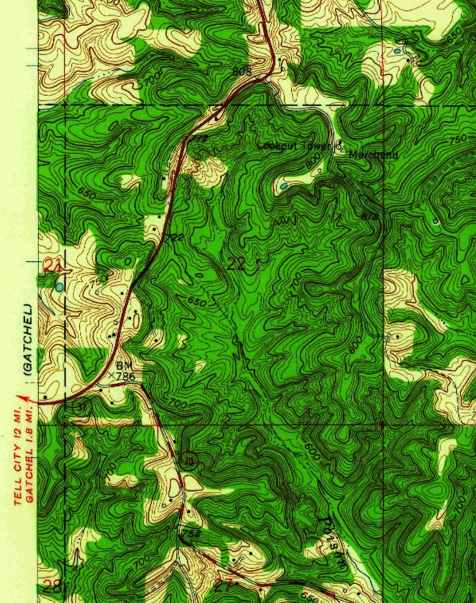
Above: Derby topo quad, 1958, showing the tower just east of (old) IN-37
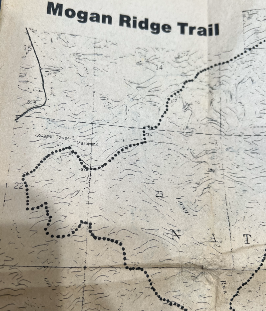
Above: This is from the 1997 National Geographic Hoosier National Forest trail map showing the tower near the Mogan Ridge Trail system and not far from (new) IN-37.
Above: This is from an Indiana trail compilation I purchased in the early 1990s.
Links
Marchand tower page at US Forest Service
NGS datasheet for mark MARCHAND (JA1808) which is near the lookout tower. (I could not retrieve a full data sheet for JA1810 MARCHAND LOOKOUT TOWER.)
Data
| Coordinates | Latitude | Longitude |
| My coordinates (taken onsite) | 38.071266 | -86.607312 |
| NGS mark MARCHAND (Google Maps) | 38 04 16.36258(N) | 086 36 25.69499(W) |
Personal visit and photos
My brother and I visited this location in June 2024. It’s public property just off of old 37. There is a communications/radio tower on site with a small building surrounded by a fence. One of the old tower footers is visible, just outside the fence.