Information
Names: Ouabache
Location: Ouabache State Park , previously known as Ouabache State Recreation Area, and before that the Wells County State Forest and Game Preserve
County: Wells (the only one in this county)
Topo quad: Linn Grove
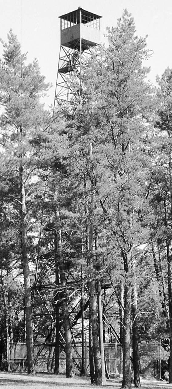
Condition: Standing, climbable, recently restored
Maps of Ouabache tower
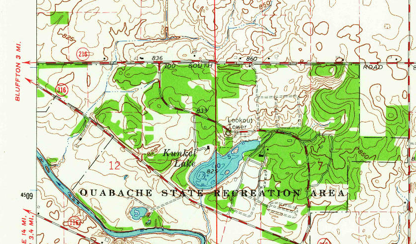
Linn Grove topo quad, 1962
Links
Living New Deal page for Ouabache State Park Lookout Tower
County Survey page for survey number 179-361-27006, 004-361-21009, 006-361-12003 — these have some fun pictures
Data
Latitude: 40.722866
Longitude: -85.106516
History of Ouabache tower
“The tower was built by the Civilian Conservation Corps in 1939 for the Wells County State Forest and Game Preserve which eventually became Ouabache State Park.” according to a Facebook post from Indiana State Parks in September 2024.
Two historical photos from county survey page: are here and here.
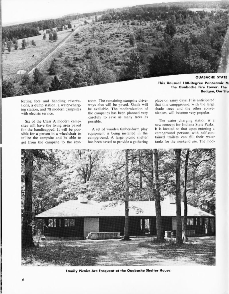
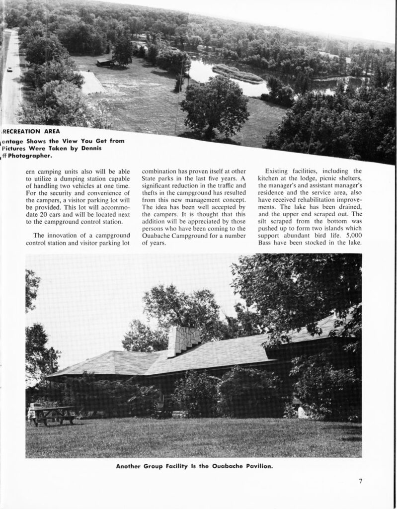
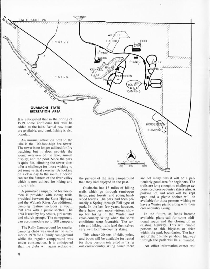
Below: These are three of the pages from a November 1978 article in Outdoor Indiana about Ouabache SRA (as it was then known). Two pages have a photo from the tower. Page 8 mentions the tower “no longer utilized for fire watching”, and has a map that strangely leaves out the tower.
The tower was closed in 2015 and needed to be repaired. Fundraising for the renovation happened around 2012. 2017 Indiana Landmarks story.
Its IDNR dedication event was in August 2019.