Information
Names: Spears, John Spears
Location: Hoosier National Forest property; near what is now Patoka Lake
County: Crawford (the other tower in this county is West Fork)
Topo quad: Greenbrier
Condition: Not standing; the tower was dismantled. Google Maps shows a communication tower on site.
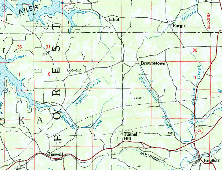
Maps of Spears tower
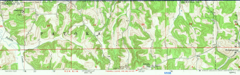
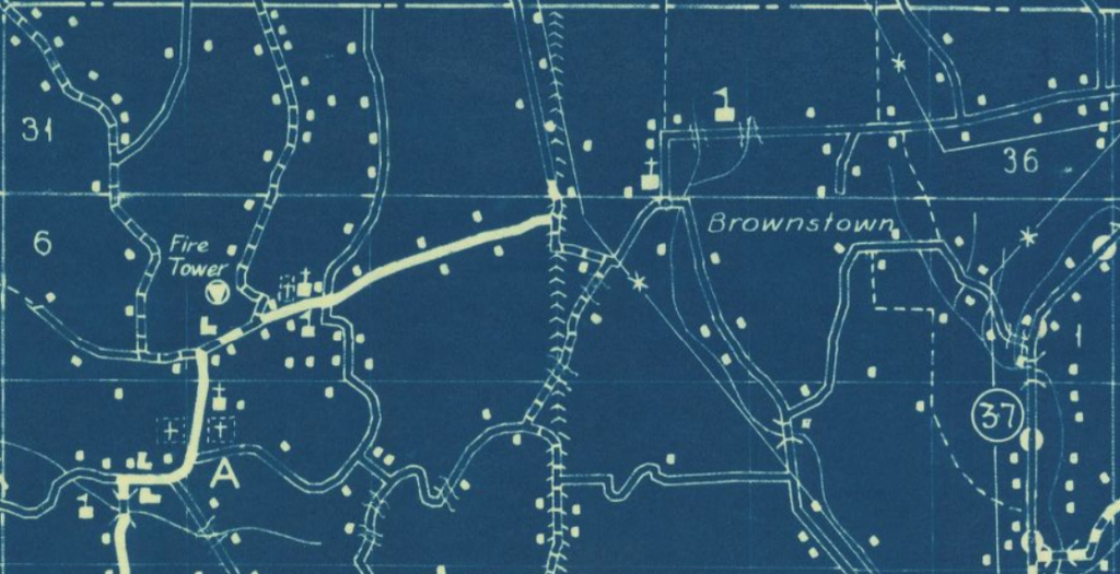
Above: Greenbrier topo quad, 1956
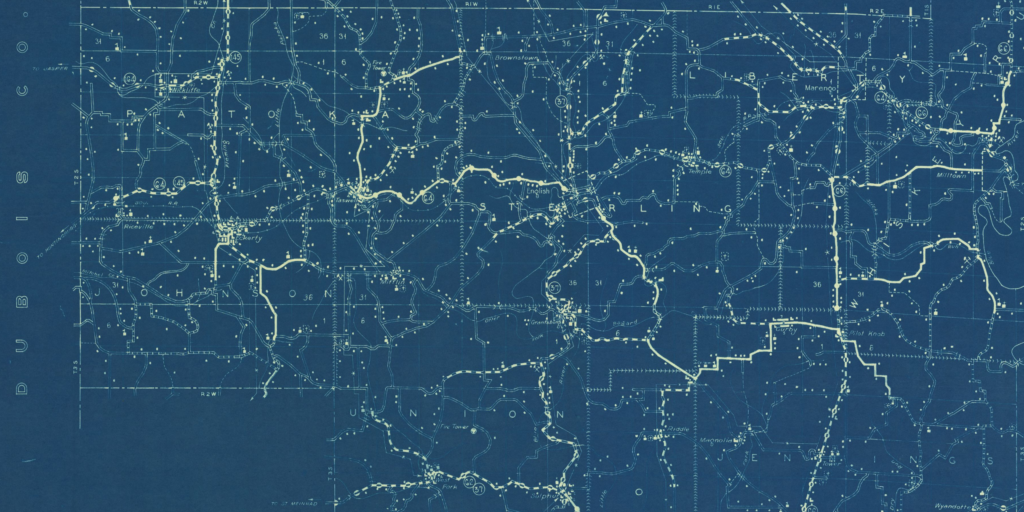
Above: Jasper 100000 map showing Spears lookout
Links
Hoosier National Forest page for Spears Tower
National Geodetic Survey datasheet for mark JOHN SPEARS LOOKOUT TOWER (JA1792) and the nearby datasheet for nearby SPEARS JA1793
Data
| Coordinates | Latitude | Longitude |
| My coordinates (unofficial) | 38.375594 | -86.547948 |
| NGS datasheet for JA1792 (NGS map) | 38 22 32.19333(N) | 086 32 52.77436(W) |
History of Spears tower
The tower appears in the 1936 cultural Map of Crawford County (seen above) which suggests that the tower existed in 1936.
Spears tower is mentioned in the 1941 Department of Conservation annual report.
The tower is described in the 1946 entry for the JA1792 and JA1793 marks. The 1964 update for JA1793 says the tower is still there. The 1965 update for JA1793 mentions the tower being there, but also says that “this was not an occupied station.”
The 1946 datasheet entry says this is on state property.
A January 1960 Outdoor Indiana article (page 23) has a list of 13 state towers in District Three, and has Spears tower in that list. I might have guessed it was a federal tower due to its having a page on the USFS website, but according to that OI article it was a state tower. (Possible it has been both state and federal property at different times.)
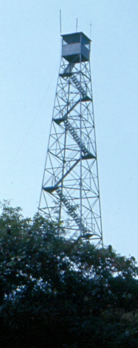
The USFS web page for Spears has a picture with the tower still standing in 1973.
A private communication tells me that the tower was dismantled around 1987, bought and stored privately for decades; and in the 21st century has been reconstructed on private property in Indiana.