Information
Names: West Fork
Location: Hoosier National Forest, Tell City district
County: Crawford County; some online sources say Perry County but it’s north of (current) Perry County. (Other tower in this county is Spears.)
Topo quad: Branchville
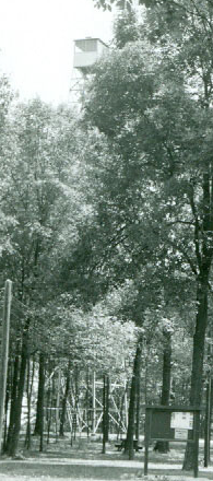
Condition: Not standing; it was removed.
Maps of West Fork tower
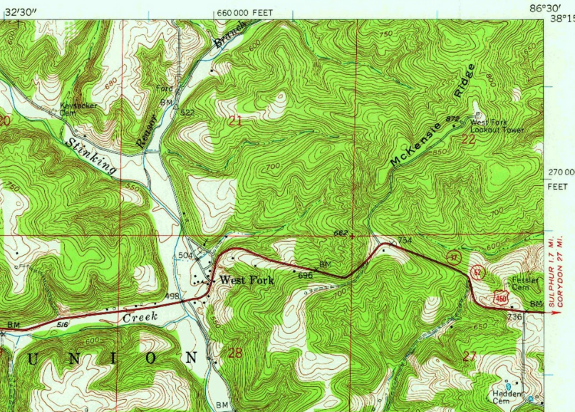
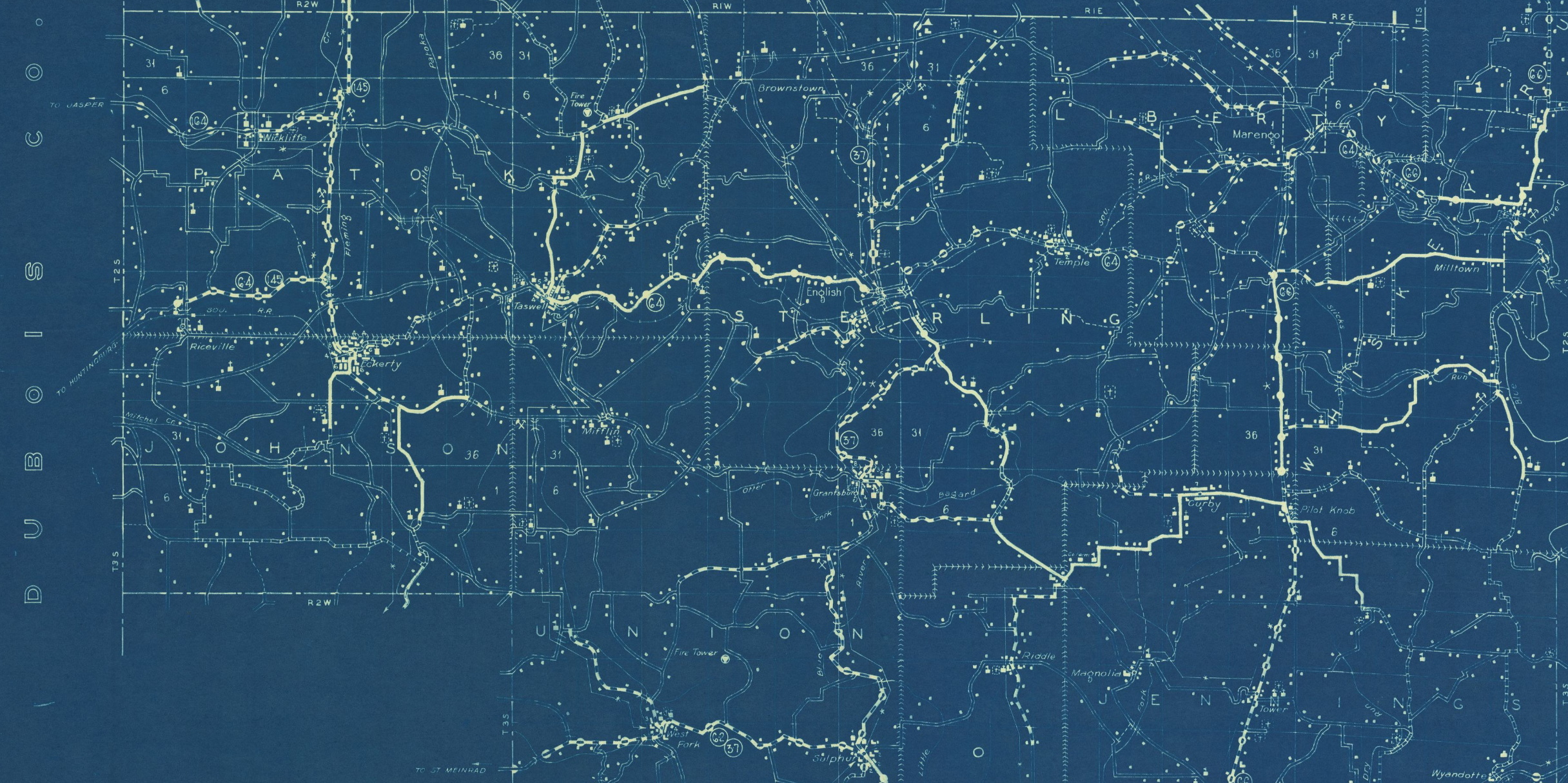
Above: Branchville topo quad, 1958 (West Fork Lookout Tower is on this map; map made before the interstate was built)
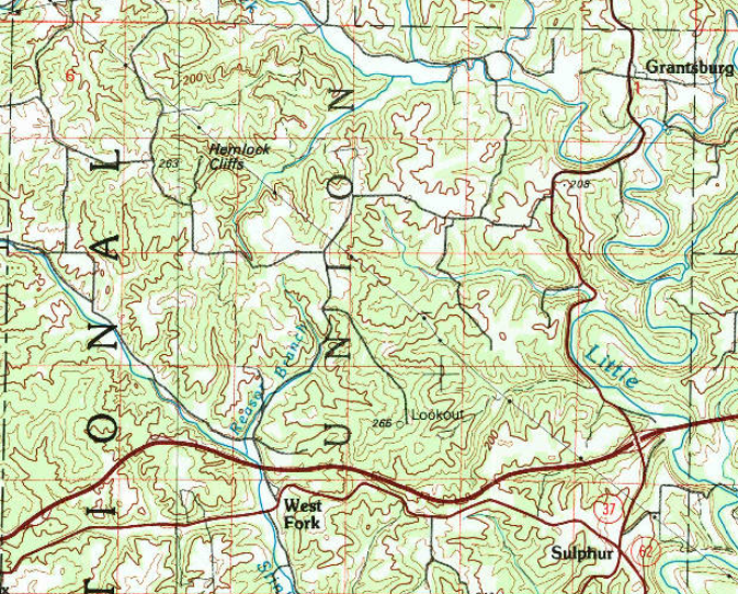
Above: Jasper 1:100000 topo from 1994
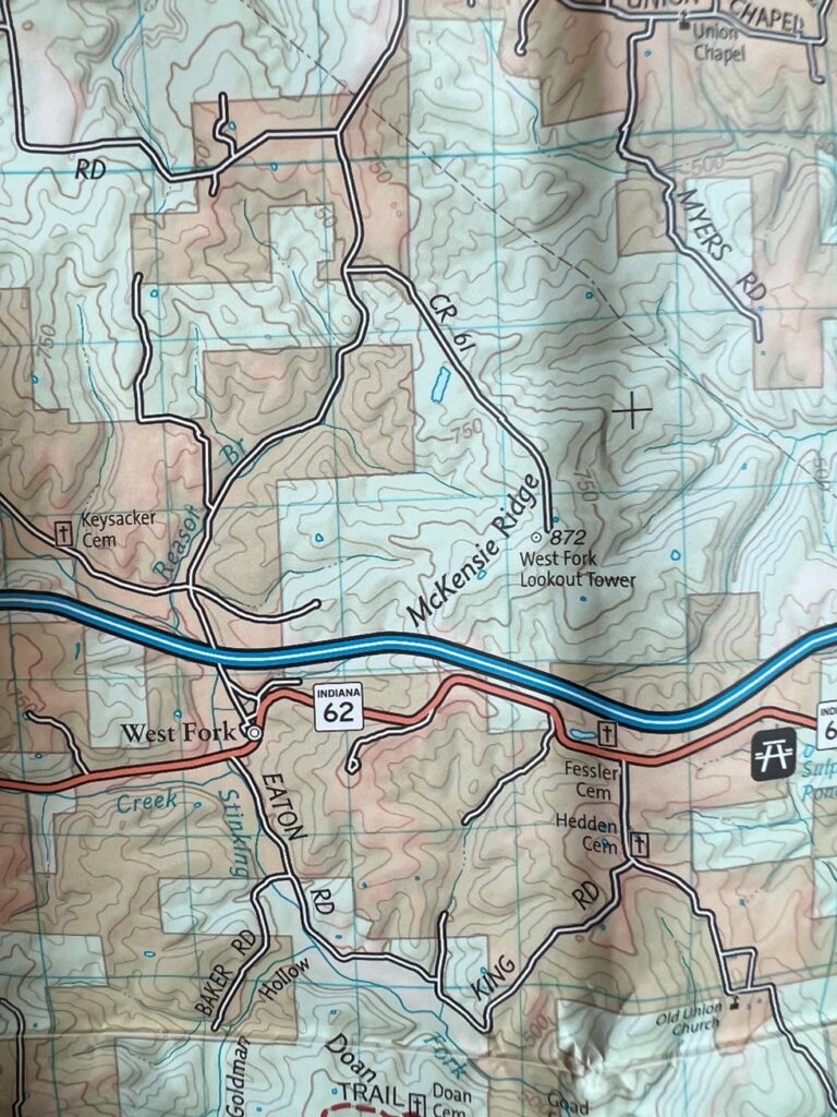
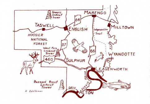
Above: West Fork Lookout Tower site noted on National Geographic trail map
Links
US Forest Service page about West Fork
Teena Ligman’s interview with two tower men, who discuss West Fork among other things
Data
| Coordinates | Latitude | Longitude |
| My coordinates (unofficial) | 38.243893 | -86.505769 |
| NGS datasheet for JA1801 | 38 14 37.04757(N) | 086 30 23.42443(W) |
Personal about West Fork tower
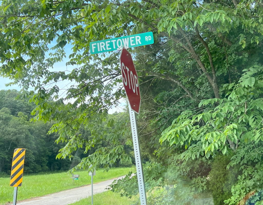
Just north of I-64, there is a road named Firetower Road, which ends in a gate. This may have led to the tower site at one time, but it doesn’t today. This road parallels the interstate, just north of it.
The forest road to get to the site is labeled CR 61, and approaches the site from the northwest. This road is a one-lane forest road that is not in good shape and has almost no place to turn around. Driving on this road is for the brave.
The Forest Service web pages say this tower has been torn down. There’s no evidence that it stands. One online reference has a story by one of the lookout men who paid $75 for the tower for scrap metal and took it down.
I’m not sure why some sources say this is in Perry County. It’s just north of Perry County.