Information
Names: Winamac, Beard’s Hill
Location: Tippecanoe River State Park
County: Pulaski (also in this county: Jasper-Pulaski)
Topo quad: Winamac
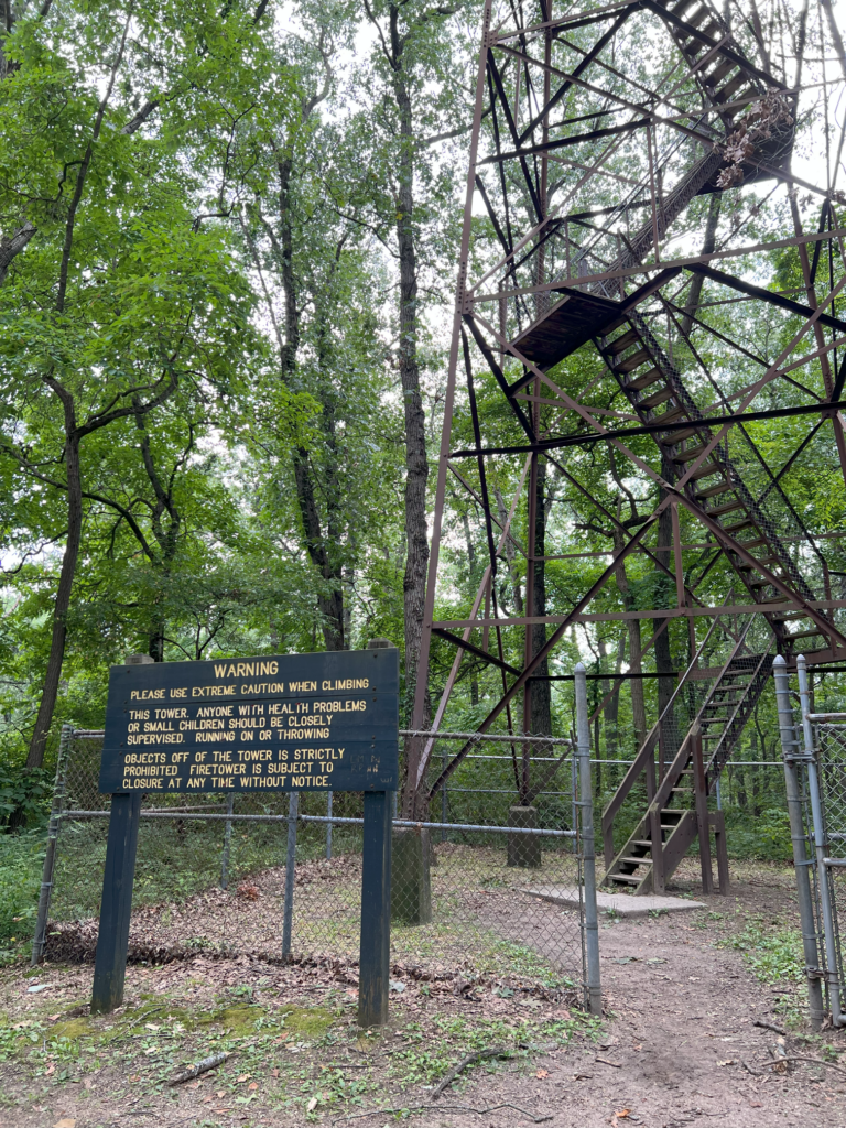
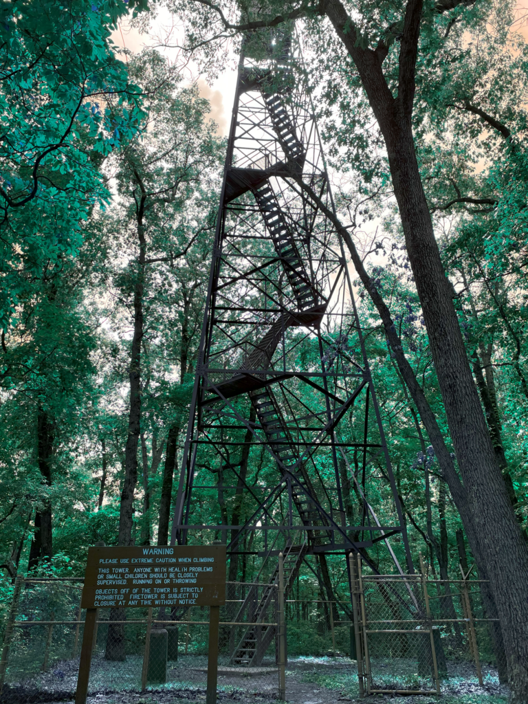
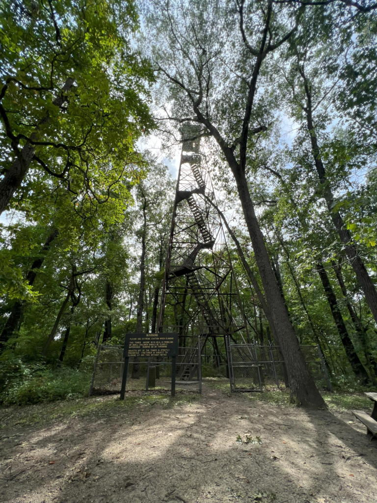
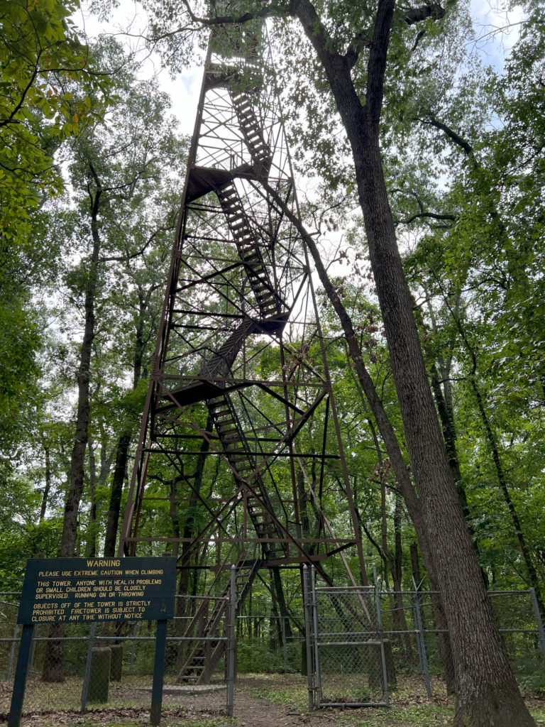
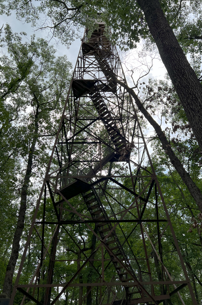
Condition: Standing, climbable, good shape, nice view. A Facebook post in May 2024 says that the tower is open dawn to dusk, except the colder months.
Maps of Winamac tower
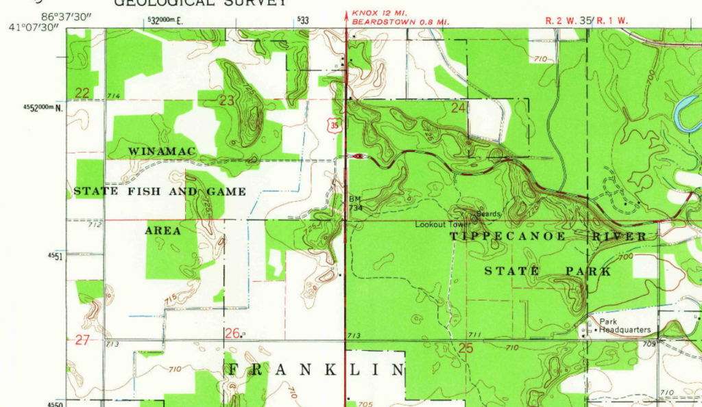
Above: Winamac topo from 1962
Links about Winamac tower
National Historic Lookout Register page for Winamac Fire Tower
Tippecanoe River State Park map
Structural Survey numbers 006-684-10002, 131-684-06006
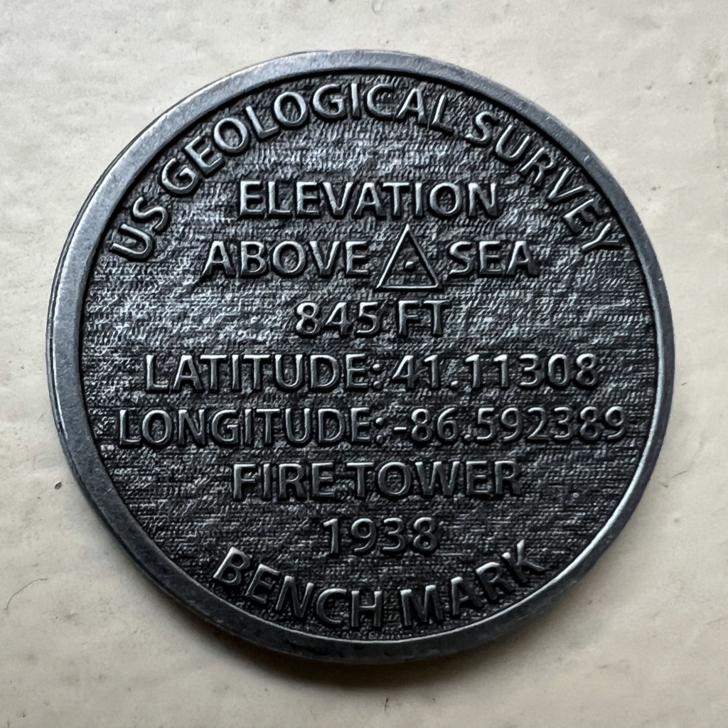
Data for Winamac tower
| Coordinates | Latitude | Longitude |
| My coordinates (unofficial) | 41.113309 | -86.592414 |
| Medallion purchased at park office | 41.11308 | -89.592389 |
History of Winamac tower
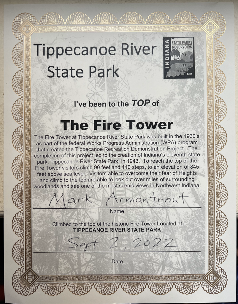
Built in 1937 according to NHLR page. Built in 1938 according to the recent state park medallion. Built in 1940, according to an old sign at the site that referred to the tower as Beard’s Hill Fire Tower.
Structural Survey page note: “Area known as Winamac Recreational Demonstration Area 1935-1943, when the federal government turned the property over to Indiana to be used as a state park.”
Personal photos and notes
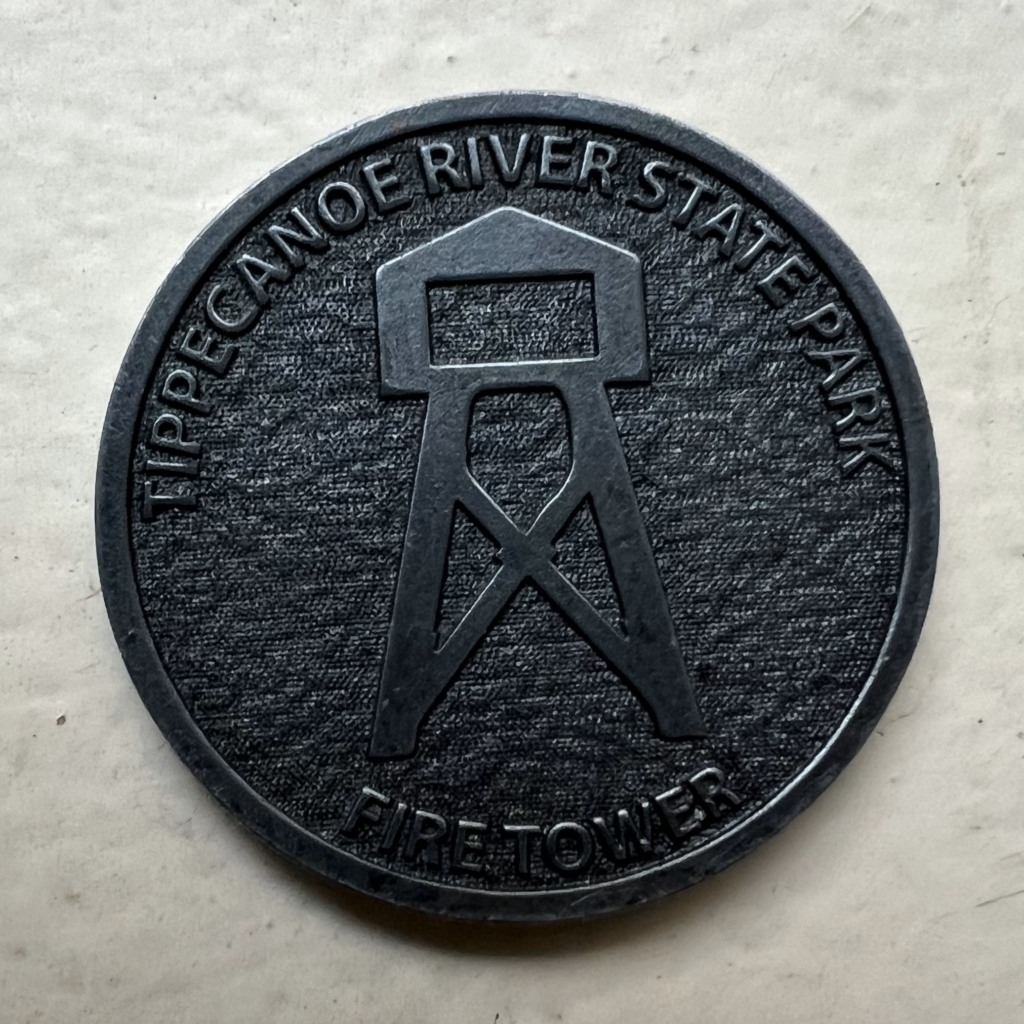
I purchased a certificate and medallion/coin for this tower at the park office.